Monthly Archives: July 2023

Cordova, Alaska

We went to Cordova, which is a fishing community on Prince William Sound. You cannot drive to get there because it is not connected to the road system. You can only get there by ferry or airplane.

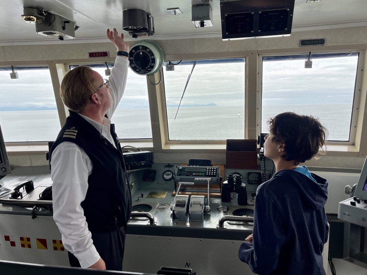
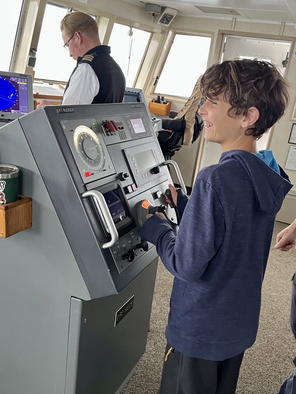
We came on the Aurora ferry. I got to see the bridge, they even let me turn off auto pilot and drive the boat. I saw a lot of electronics in the bridge like the radar and anemometer. We also saw a pod of killer whales. It was super interesting and fun being on the bridge.

On the bridge of M/V Aurora
At the helm

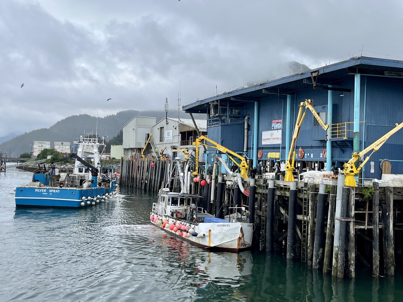
We explored the Cordova Harbor were we saw the fish processing plants. We saw all the fishing boats coming into the harbor and there were a lot. There was smoke billowing out of giant exhaust pipes and there was always the smell of fish assaulting our senses. The fish were lifted out of fishing boats by large bloody nets at the processing plant. The bloody nets had a quick release at the bottom. the fish were dumped from the bloody nets into tubs of ice and taken in for processing.

Cordova harbor

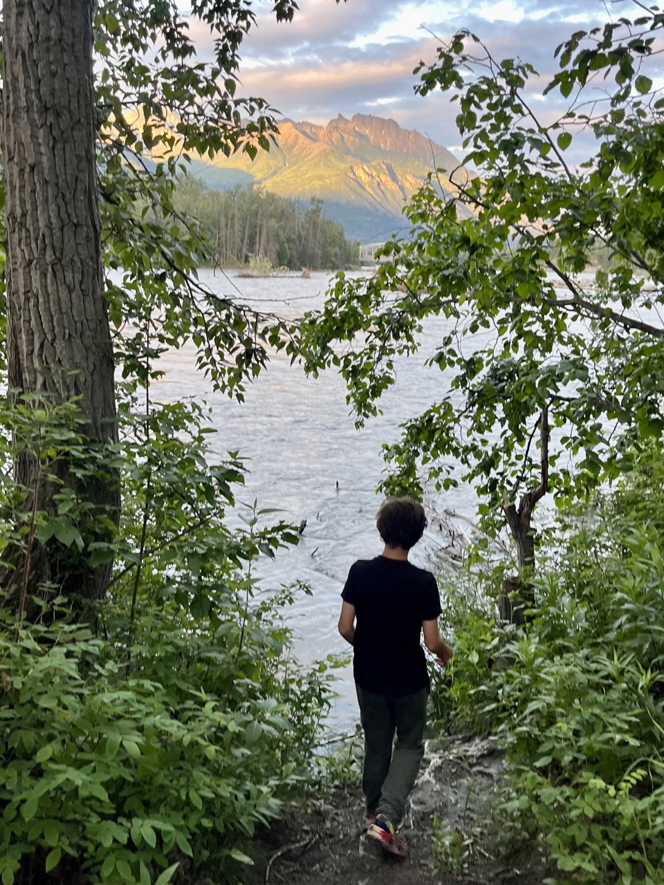
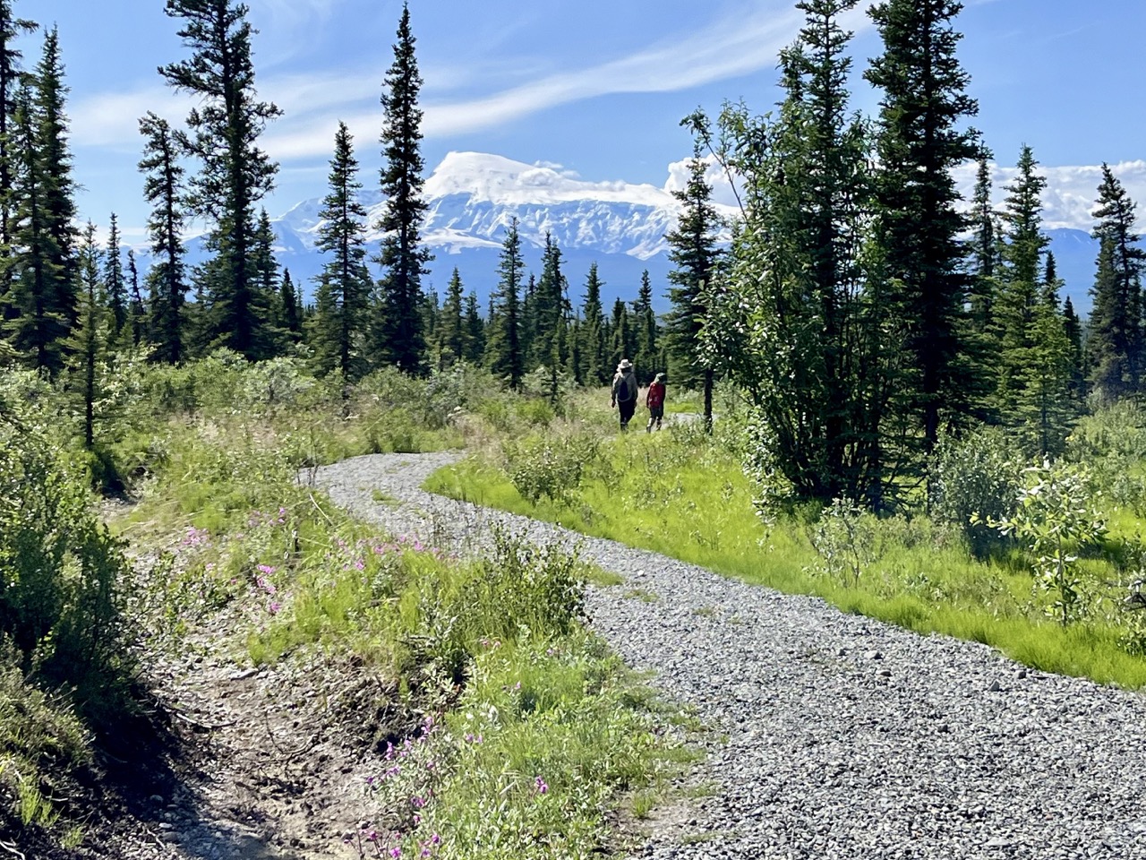
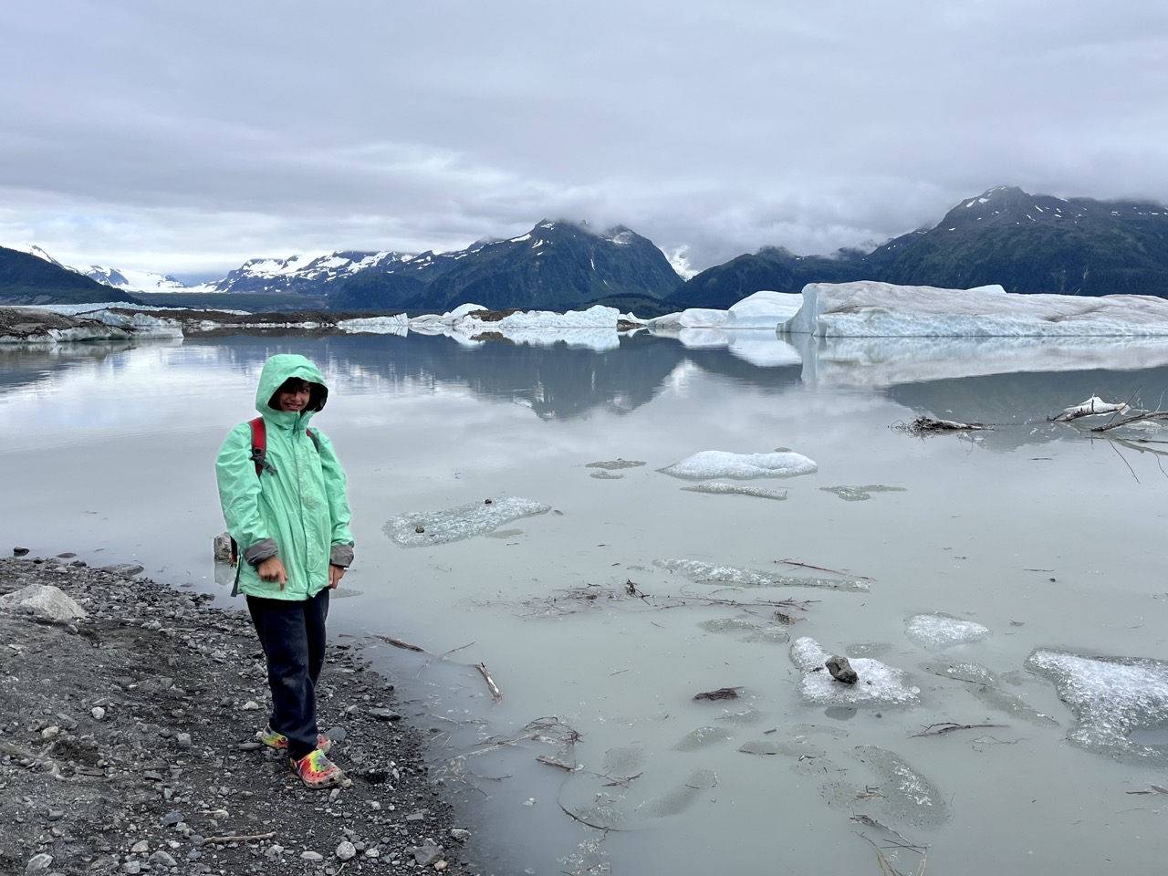
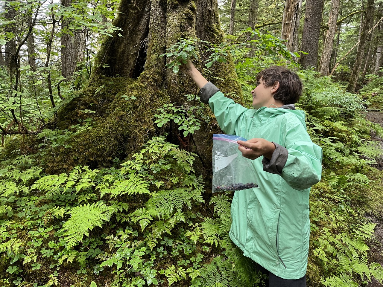
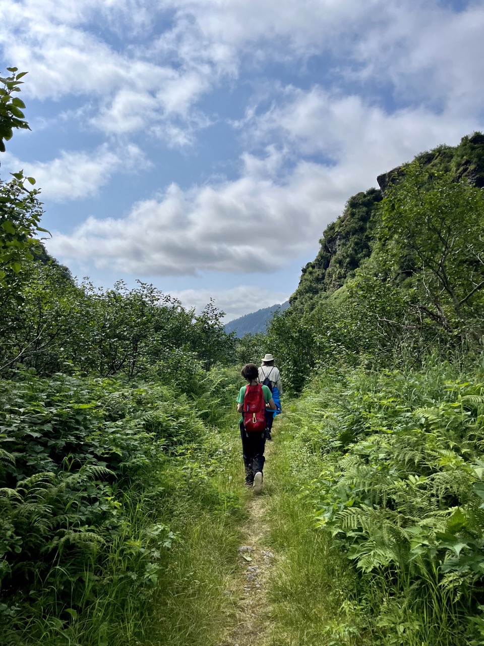
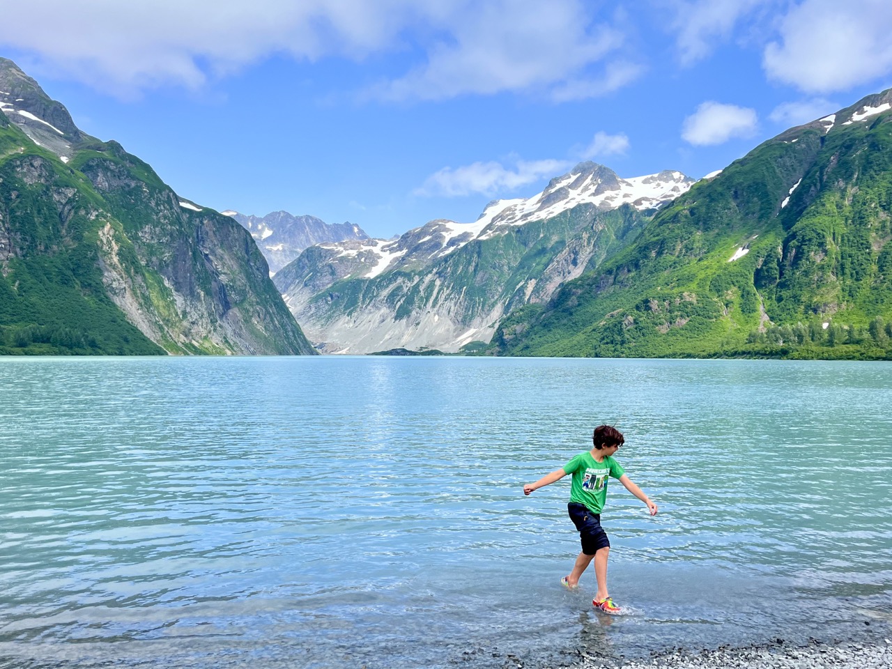
We went on three hikes. The first one was the Sheridan Lake Trail where we saw icebergs and the glacier. The next hike was the Haystack Trail where I picked blueberries as we hiked. Our last hike was the Saddlebag Glacier Trail where we hiked to a beautiful lake. We saw a lot of bear scat on the trail so we sang to not surprise a bear.

Sheridan Lake Trail
Sheridan Glacier Lake
Blueberries!
Singing while hiking so we don’t surprise a bear
Saddlebag Glacier Lake

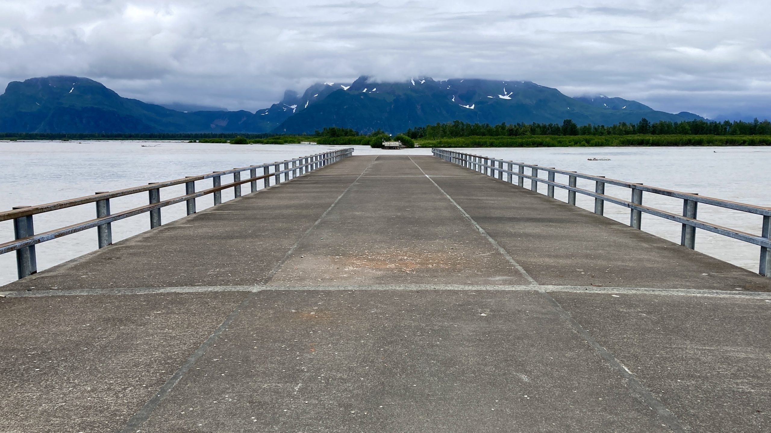
We camped in the Copper River Delta.There was a old washed out bridge at mile 36 and that was the end of the road.

End of the road

Palmer, Alaska

After leaving the Nabesna Road section of Wrangell-St. Elias National Park we drove west towards Anchorage. It was getting late when we arrived in Palmer, the first city in the greater Anchorage region, so we got some pizza to go and ate at a great city park.

Punny name for a park in Alaska
The A-Moosement Park lived up to its name

We stayed at the Matanuska River Park Campground in Palmer, which we liked so much that we stayed two nights.

Some kind of Alder tree along the Matanuska River
Matanuska River in the campground
The Matanuska River Park is right at the end of the Palmer airport runway, so we got to see a lot of small planes up close

So beautiful, so buggy

After our long drive from Dawson City we camped at Kendesnii Campground on the Nabesna Road in Wrangell-St. Elias National Park. It was a spectacular setting, but the mosquitos were terrible.

Beautiful …
… but buggy!
The bugs weren’t too bad if you kept moving on the road

After two nights we decided that we couldn’t stand the bugs anymore, so we packed up and headed out towards Anchorage. On the way out on the Nabesna Road we stopped to hike the Caribou Creek Trail. It was beautiful, but hot and buggy.

Sweating our way up the Caribou Creek Trail

Back in the U.S.A

We left Dawson City, Yukon Territory, Canada via the Top of the World Highway. The first few hours of driving were in very dense fog.

The first portion of the Top of the World Highway has incredible views, which we didn’t get to see

After the fog lifted we crossed back into the U.S.A. at the very remote Poker Creek border station.

Our fifth time zone change of the trip

We didn’t get a picture of it, but the border station had a signed taped up in the window that said “Yes, we live here” and another that said “Yes, we like it here.”

After crossing the border we made a brief stop in the tiny community of Chicken, Alaska.

Gotta have a large chicken sculpture made out of scrap metal in Chicken, Alaska

We stopped for expensive groceries and gas in Tok, Alaska, on the Alaska Highway. Even though it had been a long driving day already, we decided to press on all the way to the Nabesna Road portion of Wrangell – St Elias National Park.

Dawson City

After driving back down the Dempster Highway we spent three nights at the Yukon River Campground across the Yukon River from Dawson City, Yukon Territory.

The restored riverboat S.S. Keno in Dawson City, Yukon

A short walk downstream from the campground is the “Paddlewheel Graveyard.” For decades steam riverboats plied the Yukon River during the summer. Each fall they were hauled out before the river froze and then put back in the next Spring. One year they weren’t put back in and were left to rot.

One day we took the ferry across the Yukon River to walk around town and get some ice cream.

The Yukon River ferry at Dawson City
You see a lot of abandoned vehicles in the north country, often in people’s yards and sometimes in public parking areas like this one at the ferry landing
Dawson City has lots of buildings from the Klondike gold rush era
Ice cream!